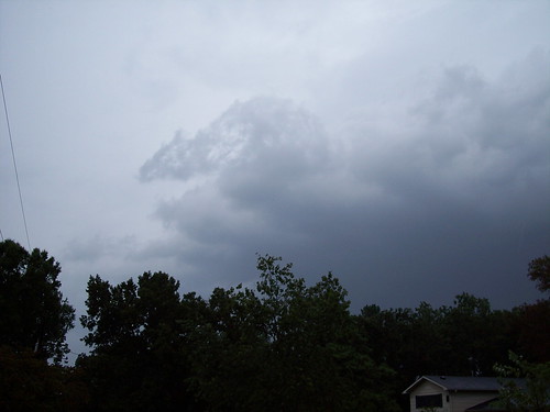
A wall cloud forming, and I could see the storm rotating. I was less than 50 yards from my house, which has a basement, should a tornado have actually spun up. And yes, part of the outflow from the cloud looks like a dragon or snake's head.
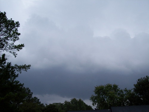
Another view of the wall cloud.
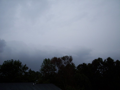
The trailing end of the storm, before I went inside as it started to pour. I could see the tornadic portion of the storm had moved to the north of my location.
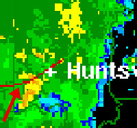
National Weather Service Radar image close-up of the cell I was photographing above. The arrow is pointing to a notch, where the possible tornado was located.
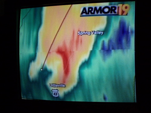
A local television station showing a classic TVS - tornado vortex signature - in another cell. The white box with the line extending to the top-right is the center of the rotation. This shows a rain-wrapped tornado, very common in Alabama, and makes it almost impossible to see tornado until it is on top of you.
No comments:
Post a Comment